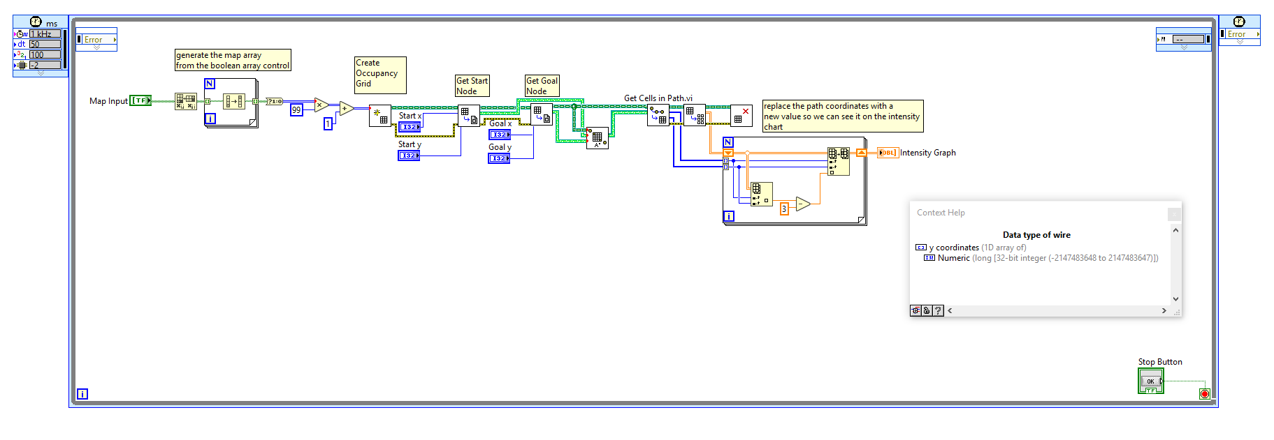
Hello, I have created a path I want my robot to follow using A* thanks to this wonderful guide: http://forums.ni.com/t5/LabVIEW-Robotics-Documents/An-Introduction-to-A-Path-Planning-using-LabVIEW/...
Now I am wondering what the process is to convert the x-coordinate and y-coordinate arrays into wheel commands so the robot can follow the path. I read that the VFH vi could work, which would also use a LIDAR to avoid obstacles along the generated path. This sounds like the best option to implement, but I am not sure how to do this? Also how is the resolution of the occupancy grid set? I.e. how does the robot know how far to move from node to node?

This is the block diagram I am using to generate the path to follow. I am also using a Hokuyo URG-04LX-UG01 LIDAR as the primary sensor for my robot. Any help would be greatly appreciated.